Poole History Online is a free online database of photographs, documents and data relating to the local history of the Borough of Poole. This website is managed by Poole Museum and updated by staff and volunteers. Find out more
about this site.
If you experience any problems, please see the
help page.
Showing results 511 to 520 of 850
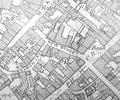
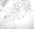
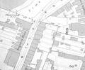
Extract from Ordnance Survey XL111.16
Map
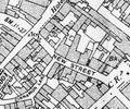
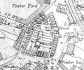
Extract from Ordnance Survey XL111.16
Map
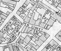
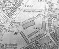
Extract from Borough Engineer's Plan 1952
Map
Museum Ref No: rVM_XXXV.13_NewtownFarmNewtown Farm, Big Covert, Pennington Covert, Arrowsmith Coppice, Long Coppice, Gravel Hill Plantation
Map
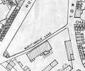
Extract from Ordnance Survey map 16.9
Map
Extract from Ordnance Survey XL111.16
Map
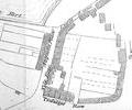
Extract from Borough Engineer's Plan 1952
Map
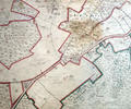
Extract from 1841 Plan
Map
Extract from Ordnance Survey map 16.5
Map
Extract from Ordnance Survey XL111.16
Map