Poole History Online is a free online database of photographs, documents and data relating to the local history of the Borough of Poole. This website is managed by Poole Museum and updated by staff and volunteers. Find out more
about this site.
If you experience any problems, please see the
help page.
Showing results 631 to 640 of 850
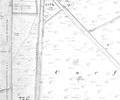
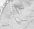
Extract from Ordnance Survey XL111.16
Map
Extract from 1841 Plan
Map
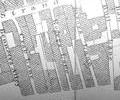
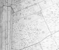
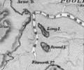
Extract from Ordnance Survey 16.14
Map
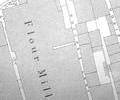
Extract from Ordnance Survey XXX1V.12
Map
Extract from Ordnance Survey XXX1V.16
Map
Extract from Ordnance Survey XL111.4
Map
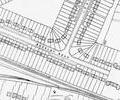
Extract from Ordnance Survey XL111.16
Map
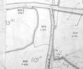
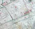
Rose Farm, Broadstone. Detail of from Ordnance Survey Sheet XLIII.4, 1:2500 scale, 1901 edition with valuation annotations.
Map
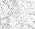
1849 chart, Sheringham
Map