Poole History Online is a free online database of photographs, documents and data relating to the local history of the Borough of Poole. This website is managed by Poole Museum and updated by staff and volunteers. Find out more
about this site.
If you experience any problems, please see the
help page.
Showing results 801 to 810 of 850
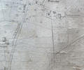
Museum Ref No: rVM_SheetXLIII.8_WaterlooPumpingStnWaterloo Pumping Station & Reservoir, Plainfield Farm,
Fleets Corner
Detail of Ordnance Survey Dorset Sheet XLlll.8 scale 1:2500 with valuation annotations. AC
Map
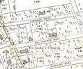
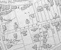
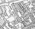
Extract from Ordnance Survey XL1V.10
Map
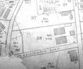
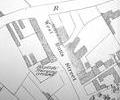
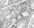
Extract from Ordnance Survey XL111.4
Map
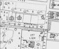
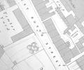
Extract from Ordnance Survey XL1V.10
Map
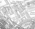
Extract from Ordnance Survey XL1V.9
Map
Extract from 1841 Plan
Map
Extract from Ordnance Survey 16.9
Map
Extract from Ordnance Survey XL111.16
Map
Extract from Ordnance Survey XL111.16
Map
Extract from Borough Engineer's Plan 1952
Map